
Upper Darby Township Resident Sources
A backward address trail is date-bound. The county’s public tax portal is the place to anchor a known situs address or parcel, not to search for a person by name. From there, recorded documents, dated maps, and historical collections can be kept in sequence. The sources below have different custodians and limits, so an entry in one row should not be treated as proof of every fact in another row.
| Source | Years It Covers | Where Held | What It Shows |
|---|---|---|---|
| Recorder online copies | 1799-present; Recorder land history reaches 1789 | Delaware County Recorder of Deeds and Cloud Search | Recorded instruments and images, subject to the document and search scope |
| County administrative records | Most series 1789-1950, excluding Recorder records | Delaware County Archives | Defined historical series; assessments include 1791-1850, 1841-1889, and 1890-1903 |
| Historic maps and directory holdings | Date-bound and collection-specific | County Historic Maps, Delaware County Libraries, and DCHS | Historic address, locality, or structure context, not present occupancy |
| Marriage and estate paths | Register marriage records 1885-present; Archives marriages 1885-1950 | Register of Wills and Delaware County Archives | Only a defined historical family or estate lead, not an address-wide household list |
Begin with the period in question. A recent recorded instrument calls for the Recorder. A date in a selected assessment band calls for the Archives. A historical household question may need a map, a verified volume, and a census or newspaper comparison. The evidence should remain linked to its date, source URL, and original image or office copy.
Upper Darby Township Deed Records
Use the Delaware County Real Estate Tax System with a verified address or parcel. Its public navigation documents Address, Parcel, Advanced, and Map Search. The county says public property-owner name searching and property photos were removed for privacy and security. The system therefore cannot support a public person-to-parcel lookup, and its assessment information is not a title opinion.
Record the situs address, parcel identifier exactly as displayed, municipality, tax or assessment year, displayed classification or mapping link, source URL, and access date. Keep a postal delivery address separate from a parcel situs and legal description. Parcels can split or merge, so a familiar street number is not a stable substitute for the recorded reference.
Note: A later deed search should begin from the verified parcel context, not from a guessed owner name.
Upper Darby Township Search Records
Recorder Cloud Search is the documented route to recorded-document research, ordinary copies, electronic certified copies, and Property Alert. Quick Search accepts a term and recorded-date From and To fields. The term can be a party, subdivision, document type, or document number. Its two scopes are Search Index Only and Search Index & Full Text, which searches OCR text. Preserve which scope returned the result.
Advanced Search offers party names in Last, First form; grantor and grantee fields; recorded and instrument date ranges in MM/DD/YYYY format; single or range document numbers; document type; volume, book, or page; full-document OCR; and municipality. An OCR hit is only a lead until the image is read. The official document-type list supplies the terms for deeds, corrective instruments, mortgages, plans, easements, covenants, releases, and other filings.
| Document number | The recorded item identifier to retain with the source URL and search date. |
|---|---|
| Instrument type | The Recorder’s stated category, not a conclusion about present rights. |
| Recorded and instrument dates | Separate dates that can differ and should remain distinct. |
| Indexed parties | Names in their recorded grantor, grantee, or other indexed role. |
| Reference fields | Municipality, parcel ID if indexed, volume or book and page, image count, and search mode. |
Upper Darby Township Record Links
The backward chain relies on the actual image. Start from an instrument tied to the verified address or parcel, then look for a prior-reference, legal description, plan, or other recorded reference. Do not replace an old address with a modern one in the same research field. A corrective deed, plan, or easement may clarify a lot relationship, but each document type has its own purpose.
- Start with the verified address or parcel and note the current tax-portal fields.
- Open Cloud Search and inspect the actual image for an appropriate recorded instrument.
- Capture the prior-reference, legal description, plan reference, and typed instrument details.
- Repeat backward from the referenced image until a documented gap appears.
- Use Archives, historic maps, directories, or a defined custodian inquiry for the remaining interval, and mark the gap if it cannot be bridged.
- Grantor
- The party identified in a recorded instrument as transferring or conveying an interest.
- Grantee
- The party identified as receiving the interest in that recorded instrument.
- Chain of title
- A chronological set of recorded instrument links, not a guarantee that every interest or lien has been resolved.
- Legal description
- The recorded land description or plan reference used to distinguish land when street addresses change.
- OCR
- Machine-read text from a scanned document; it must be checked against the document image.
Upper Darby Township Records Context
County Historic Maps identifies historic atlas, aerial, map, and related research channels, including 1809 mapping, 1946 map and directory material, Hexamer surveys, Sanborn materials, and PASDA imagery. These resources can put a printed address or recorded plan into a dated physical context. A map label or building footprint does not prove present ownership or occupancy.
Address reconciliation runs in order: current parcel and municipality, recorded descriptions or plans, dated map or atlas, then directory, census, archive, or newspaper evidence. No official township-wide historic renumbering or predecessor-address crosswalk was verified. Preserve a changed number, subdivision, postal label, or parcel configuration as unresolved until an original record provides the bridge.
Upper Darby Township Archive Records
The Delaware County Archives image reflects the county’s separate historical-record channel.
The Archives preserves most administrative series roughly 1789 to 1950, while excluding Recorder records. Its published assessment bands are 1791-1850, 1841-1889, and 1890-1903. An assessment can place a taxable land or name in a dated series, but it does not independently prove a full title chain or that someone lived at a particular address.
Mail, in-person, and email inquiries are available, but the Archives says it does not send copies by email and does not take credit cards. Request a specific existing series, date span, township or locality spelling, and any index reference. For a township administrative record that is not online, use the Upper Darby Right-to-Know route only for a narrow existing record, not for a newly created historical list.
Upper Darby Township Previous Residents
Recorded parties are only one layer of an address history. To ask who lived here before, compare the dated instrument chain with a verified directory page, census material, newspaper coverage, and, when appropriate, a defined marriage or estate record. The historical directory holdings provide the collection paths; no dedicated Upper Darby-only directory volume or page was verified in the DCHS published list. Never assume a criss-cross or reverse run exists without inspecting the cited volume.
The Delaware County Libraries genealogy resources list Ancestry Library Edition for in-library use without a barcode and HeritageQuest for remote use with a library card. Their digital library lists current and historic newspapers with source-specific coverage. The 1950 Census is a dated federal source. Pair each source with the address form and locality used at that time instead of forcing a modern form into the record.
- Start with an image-backed instrument date and a dated address form.
- Locate a historical directory, telephone-book, census, or newspaper source close to that date.
- Compare the locality heading, printed address, and any map context without changing the transcription.
- Use Register or archival material only when a defined family, estate, or date path supports it.
- Keep competing leads separate until an original record confirms the connection.
Lawful use. Previous residents research in Upper Darby Township is for family and house history, estate questions, and personal curiosity. Do not use records to monitor, threaten, repeatedly contact, or harass a living person; Pennsylvania’s anti-stalking statute sets criminal penalties for stalking conduct.
Upper Darby Township Register Records
The Register of Wills online records route is for a defined county marriage-name or estate-case-name search. The image below is from the Register’s official online-records instructions.
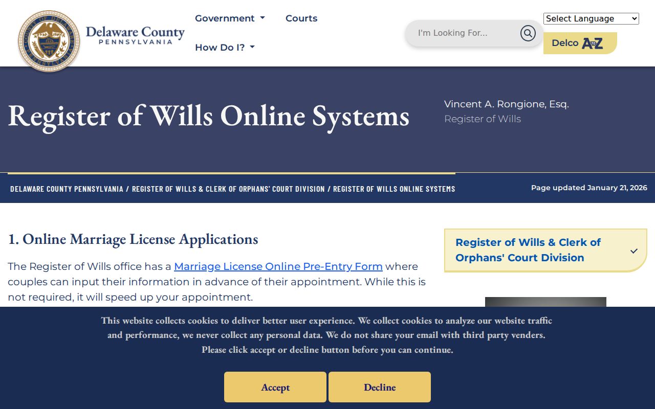
The public workflow is guest Login, Search Public Records, then Marriage Names or Case Names. Names are free, but images and documents are not part of the name index. A result can identify a defined family or estate lead. It does not show that every person with a similar name lived at the address under review.
After identifying a specific case or document, the Register e-copies service is the request route shown below.
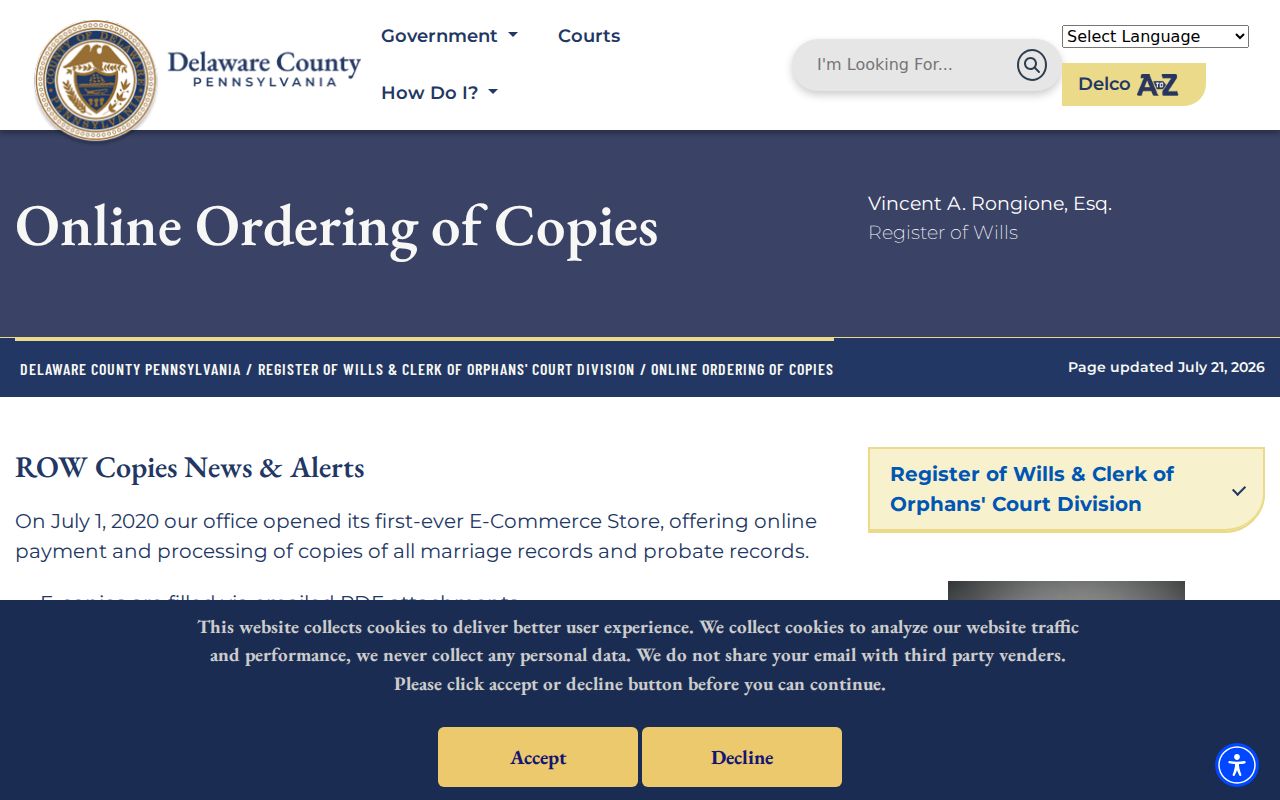
The office says e-copy processing can take up to 14 business days, and special-seal paper copies are mailed. A copy request follows a defined marriage or estate reference; it is not a method for creating an address-wide list of past occupants.
Upper Darby Township Recorder History
On March 6, 2024, the Recorder announced Cloud Search as a complement to Fusion, describing a public recorded-document collection of approximately 12 million records, historic scanning, and Property Alert. That announcement is useful system history, not a promise that every document or result field is complete. The live portal and the actual instrument image govern present search coverage and citation.
Property Alert is free and can send an email alert for documents associated with a property ID. It is not a filing freeze, title guarantee, or decision that a suspicious document is invalid. The Recorder says it is not a title insurer and does not maintain all possible liens. Review the recorded image and use the Recorder’s published channel for a defined question.
Upper Darby Township Record Gaps
Some gaps are part of the record trail. The Archives has series dates and exclusions. DCHS has collection-specific holdings rather than a verified dedicated township volume. Maps provide context, and old postal labels are not boundary proof. A no-result can reflect a date window, an OCR error, an unindexed period, a renamed street, or a missing bridge record.
For a county record outside a posted database, the Delaware County Open Records channel can be used for a discrete existing record with a named office, date range, and format. Do not ask an agency to compile a new directory or resolve an identity connection. Retain the response date and state plainly when the historical trail remains unresolved.