
Upper Darby Township Neighbor Source Boundaries
Upper Darby Township neighbors are best researched as a limited, address-by-address record question. The documented local method starts with a verified address or parcel and follows records that actually expose information about that location. It does not create an adjacent ownership list or a resident list for a block. The county tax system removed public owner-name searching, and the research did not verify a county tool that publishes a reusable list of surrounding parcels. Each source below provides context of a different kind.
| Source | What It Shows About a Block | Access |
|---|---|---|
| Tax portal Map Search | Parcel-map context around a known address | Use the documented map route; neighboring controls were not verified |
| Recorder plans and easements | Recorded layout, access, restriction, or instrument context | Read the image and document type, not a result label alone |
| County historic maps and aerials | Earlier street layout and development context | Context only, not proof of present ownership or occupancy |
| Election street-list framework | A lawfully requested election-record list category | Section 1404 use rules and Section 1207 inspection rules apply |
| Township civic resources | Public organization, meeting, and municipal-structure context | Not a membership roster or proof that anyone resides nearby |
A parcel owner, a mailing field, and an occupant are different concepts. Renters and household members are not turned into a public block inventory by these records. Open a nearby address only if the public interface exposes that particular record, and report no address-to-address connection that the official source does not display.
Upper Darby Township Record Map Limits
The county property system documents Address, Parcel, Advanced, and Map Search choices. It is the public route for parcel and tax context after an address or parcel number is known. The county's privacy and security notice removed public owner-name searching and property photographs. That constraint matters: a name cannot be used to reverse-search the system for a nearby parcel, and a displayed tax field should not be recast as a statement about who lives there.
County Mapping provides official mapping and data-program context, but the research did not find a standalone public GIS viewer with documented adjacent-parcel buffer, measurement, or selection controls. The tax portal's Map Search is therefore the documented public path. Mapping information is informational, and a boundary on a screen does not make a verified neighbor list.
Note: Preserve the verified situs address, parcel ID, municipality, tax year, displayed fields, map link, and access date without adding absent person fields.
Upper Darby Township Block Record Flow
Use a short chain that keeps every action tied to the known address. This flow gives parcel and document context for Upper Darby Township neighbors without assuming a public adjacent-owner feature exists.
- Start with one verified address and use the county tax system's Map Search for visible parcel context.
- Open a public parcel record for another address only where the portal itself exposes that record.
- Use Recorder Cloud Search to locate the relevant instrument, then read the image, type, recorded date, and plan reference.
- Compare a dated historic map or aerial only for earlier layout context.
- Stop at an unexposed parcel, unclear boundary, changed address, or same-name uncertainty, and mark the limit rather than filling it with an inference.
A plan, deed, or map may explain a property relationship without identifying a current household. The full address-by-street chain is separate and appears in the Upper Darby Township street directory; it should not be rebuilt from a block-level result.
Upper Darby Township Recorded Plans
Recorded plans, easements, covenants, and restrictions answer document questions, not people questions. A plan can provide a recorded layout reference. An easement can concern recorded access or restrictions. Mortgages, assignments, satisfactions, and corrective instruments have other purposes. The county's Recorder document-types list supplies the official category vocabulary, and each conclusion should remain tied to the signed or recorded image.
Do not merge every filing into a generic property story. Preserve the document number, type, recorded date, instrument date if shown, municipality, indexed parties, legal-description or plan reference, image page, and search mode. Generic household data, delivery details, vehicle information, and unverified online profiles are not substitutes for a recorded document. A result title does not establish access, boundaries, current rights, or who occupies a parcel.
Upper Darby Township Civic Records
Township civic resources help identify public organizations and government activity around a block. They provide useful context for Upper Darby Township neighbors when the question is about a listed resource or public meeting. They do not prove that an organization includes every local household, that a participant lives at an address, or that a neighborhood association has a public membership database.
| Public resource | Available search or context | Limit |
|---|---|---|
| Resource Directory | Name, initial-letter, and category search for listed organizations or municipal resources | Listing context, not an association roster |
| Agenda Center | Time period, start date, end date, keyword, and category search for meetings and records | Meeting material does not establish residence or views |
| Boards, Commissions, and Committees | Public civic-structure context | Structure is not a resident list |
| Township comprehensive plan | Discusses neighborhood and existing homeowner associations as civic elements | No verified membership database or comprehensive association directory |
The Upper Darby Township Resource Directory is the public listing route for civic context. Use its listed title and category with a source date, rather than assuming its results capture every organization or member.
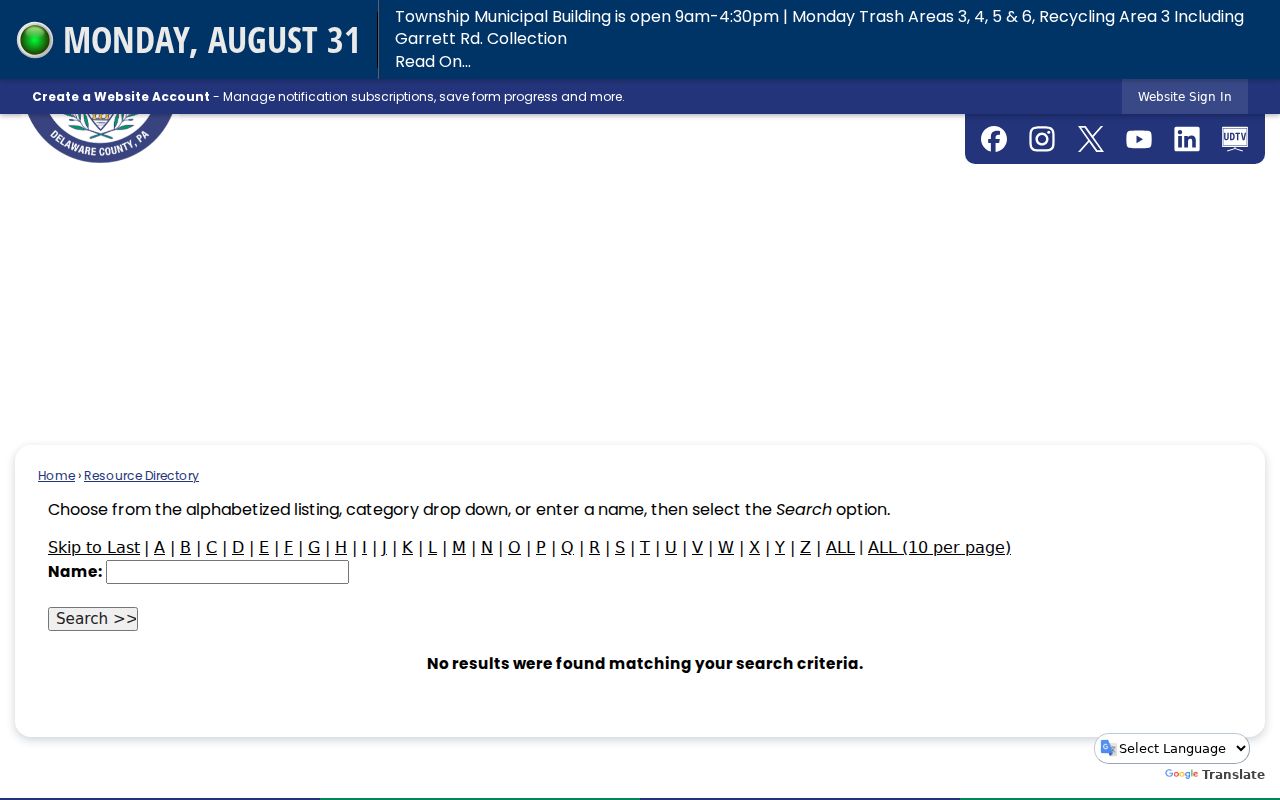
The name, alphabet, and category choices support organization research. They do not turn a civic listing into evidence about a household on a block.
Upper Darby Township Meeting Records
The Upper Darby Township Agenda Center is the official channel for public meetings, agendas, minutes, notices, and attachments. Search a meeting item by its public body, meeting date, agenda or minute title, and official URL. An agenda occurrence may show that an item appeared before a public body. It does not identify a household, establish a person's views, or supply a block roster.
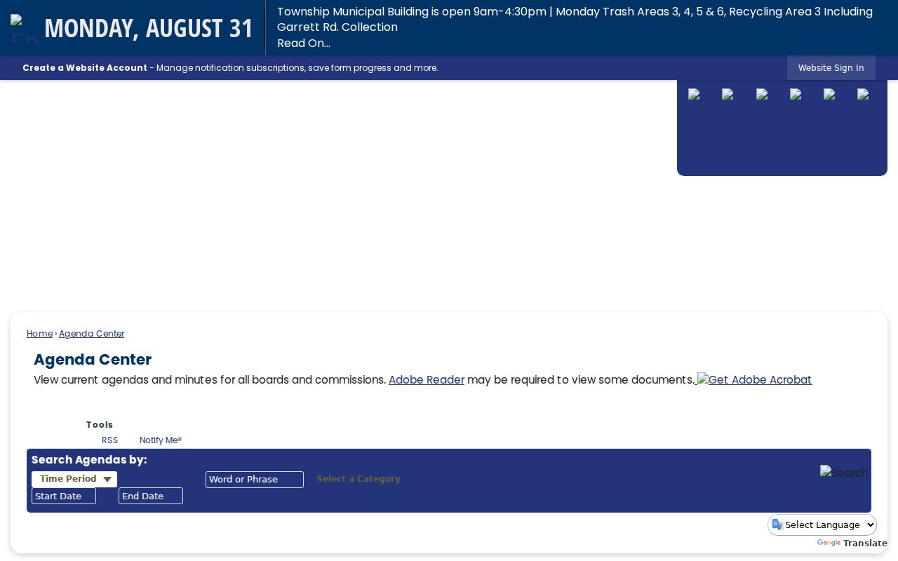
The date and category controls make the source useful for civic context. Keep the public record's title and date with any reference rather than reading personal conclusions into a meeting notice.
Upper Darby Township Historic Block Records
Historic maps and aerials can explain why a parcel layout, street line, or development pattern changed over time. They should be read with their date, map title, and source context. County Historic Maps identifies atlas, aerial, map, and related research channels, while archival and library sources preserve other dated materials. A structure footprint or an old label is historical context. It does not show current ownership, occupancy, neighborhood membership, or the present limits of a parcel.
Upper Darby Township is a township served by Delaware County record offices, and postal or community labels can differ from township or parcel jurisdiction. That makes dated reconciliation important. No authoritative township-wide historic street-renumbering or predecessor-address crosswalk was identified. If the old and current location cannot be bridged by a recorded description, plan, or dated source, leave the transition unresolved.
Note: Keep historic locality, postal label, parcel situs, map date, and source date in separate fields when they differ.
Upper Darby Township Block Source Comparison
Official sources and commercial neighbor-search services are different categories. A source that is useful for one narrow record question should not be enlarged into a claim about every nearby person. The comparison below keeps the difference visible.
| Question | Official record source | Commercial neighbor-search category |
|---|---|---|
| How is an address connected? | Shows a defined parcel, filing, plan, or public civic item with a custodian and date | May combine data from several sources with uncertain update timing |
| What can be checked? | The image, source field, scope, and access limit | Category claims may not show the underlying record or its date |
| How are errors handled? | Use the named custodian's correction or request channel | Use the provider's own correction or opt-out process, then verify official records separately |
For a block question, a defined parcel or instrument is more useful than a broad composite result. Keep different record systems separate and do not use commercial listings to fill a gap left by the county source.
Upper Darby Township Record Requests
When a needed township record is not posted, identify whether Upper Darby Township or Delaware County is the custodian before requesting anything. Ask narrowly for an existing record series, date range, known identifier, electronic format, and inspection or copy preference. A request is not a way to create an association roster, reconstruct a household list, or demand an unpublished parcel-neighbor feature.
The Upper Darby Township Right-to-Know route is the official township channel for defined public-record requests.
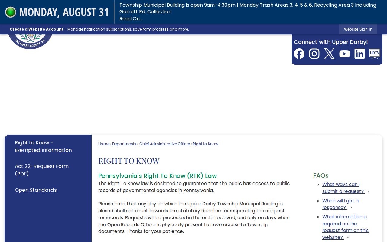
Use the published process for existing agency material, and retain the response, any fee or extension notice, and appeal information. A delayed or redacted response does not prove that a record never existed.
Upper Darby Township Neighbor Privacy
Publicly visible parcel or meeting information still carries privacy limits. The Pennsylvania Address Confidentiality Program offers a substitute address for eligible survivors, and that address must not be used to find a physical location. The PennDOT DPPA fact sheet limits access to driver and vehicle information. Neither record category belongs in a neighborhood search.
Do not make household, renter, delivery, utility, vehicle, or protected-address claims from a parcel, a plan, a voter request, or a civic listing. A named record needs its own source date and scope. If the official trail is incomplete, it is better to retain the limit than to make a profile from disconnected public fragments.
Lawful use. Use information about Upper Darby Township neighbors only for a lawful, limited purpose and keep it in official-record context. Pennsylvania's anti-stalking statute prohibits conduct that monitors, threatens, repeatedly contacts, or causes fear.